Monday, July 23, 2012

new book!

Just got a new book in the mail: Great British Weather Disasters. Most of my books cover American storms and such (except for one Canadian and some general books) so it will be nice to read this one. Plus, it's wonderful to have a new book no matter what!

source

Wednesday, July 18, 2012

Sunset

Some storms in the area but they are very persistently avoiding our house. The sunset was quite lovely though, despite the poor situation of the house.


Saturday, July 14, 2012

More clouds...

Some more photographs of clouds from our trip. The last two shots were taken this morning.


Thursday, July 12, 2012

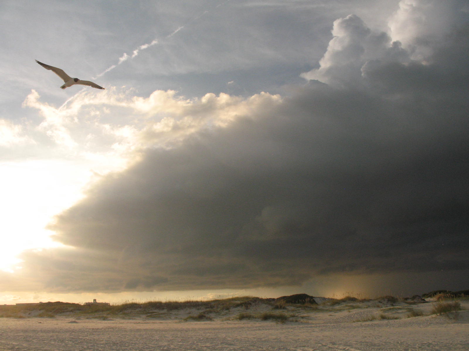
Cloud-Watching at the Beach

There have been some lovely clouds here while we've been at the beach (AL coast).

First day we were here. I hadn't allowed the camera to fully acclimate.


Cumulonimbus over Mobile Bay

This shower actually caught up to us before we got inside.

Love the contrast. We had a lot of rain off and on the beginning of the week.

shower looking north over Mobile Bay

lovely mackerel sky

Not that this has anything to do with meteorology, but it's my blog and I can put whatever I want on it: I was very disappointed the first few nights we were here were so cloudy. I had brought my binoculars (very nice ones) and star charts so I could take advantage of the low light pollution. The last two nights, however, were very clear and I was able to see quite a lot. Sagittarius is prominently in the south and it's a busy area. Lots of open and globular clusters, several nebulae and just generally a lot of stars (right in the Milky Way). I saw the Lagoon Nebula and M22 for the first time. (;

Sunday, June 24, 2012

Storms at Indian Pass Beach

Long time no post! The weather here has been pretty nearly uniformly hot and mostly humid. Now and again we'll get a little much-needed rain. The showers are all scattered so it's terribly hit-and-miss, some areas getting dumped on and others still parching. Luckily we've had just enough (although if I don't water the flowers daily they scream and die).

However, there is something in the offing in the Gulf: TS Debby. I admit I've been preoccupied and only learned of its existence yesterday (not watching the news will do wonders for your peace of mind but you do tend to get caught off guard by some things). My parents sent me a link to some pictures from Apalachicola and Indian Pass. Here's one:

(source)

It's a little hard to tell, but this is the road leading from Indian Pass Road out to Florida State Road 30A. You can't see it, but McNeil's is in the distance at the end of the road. Here's what it looks like when tropical storms aren't hanging around:


See that little building in the distance? That's McNeil's, also known (now) as the Indian Pass Raw Bar. When I was little we called it the "Little Store" because (1) it was little and (2) it was the only store anywhere near. It was rather like an old-fashioned general store but without the charm. Mom wouldn't get any groceries but emergency ones there because she said they cost too much. We got groceries in either Apalachicola or Port St. Joe. But I digress.

Below is a map of that part of Indian Pass. The junction at the top of the picture is McNeil's and I've drawn an arrow pointing to the approximate site where the photos were taken, looking north. Obviously this satellite photo was taken during a drought. The lagoon is to the right and the Gulf is to the south, just beyond the driveways you can see in the picture.


The houses, at least the old ones which have been there for over a century, are on a ridge down the back of the little peninsula called Indian Pass. The Pass itself is at the very east end, between Indian Pass Beach and St. Vincent Island, a wildlife preserve. Deer have been known to swim across but I suppose most that try don't make it. The current is pretty strong and there are a lot of sharks. Oof.

Back to the houses. As I said, the houses are all on a ridge on the north side of Indian Pass Road. Across the street is an expanse of sea grass, sea oats, scrubby pines and palms and then the beach. New houses have been built on the lower area between the road and the beach. This seems very foolish to me. The old folks were much wiser. Not only did they build their beach houses on the ridge, but most of them were built just behind the crest so that the wind coming up from the water would be somewhat deflected up the slope and over the roof and not hit the house so directly. All of us owned "from water to water", that is, from the lagoon to the Gulf. The ground sloped down to sea-level behind the houses pretty rapidly and many people had little docks where fishing or crabbing could be done or a boat could be tied. The bottom was pretty shallow and one could go out castnetting for mullet.


When I was a child we used to spend a month or more every summer living at the beach. The beach house itself is another story. We always knew that you oughtn't hunker down in place to weather a hurricane because the road was so low that you'd be cut off almost immediately. After one hurricane (and I can't remember which one - they tend to run together when you live in Florida) I drove down there with my father to check on the house. When we drove up the oyster shell driveway there was a debris line half-way up which showed us the high-water mark. I turned around at that point and looked out the Gulf, lying calmly in its usual spot, and tried to imagine breakers crashing over the palm trees and our house on an island. My nightmares of being trapped at the beach house during a hurricane started from that point. Believe it or not, while the details sometimes change, I still have those nightmares. It's a very vivid thing when you actually see it.


Tuesday, May 1, 2012

Cloud photos from the air

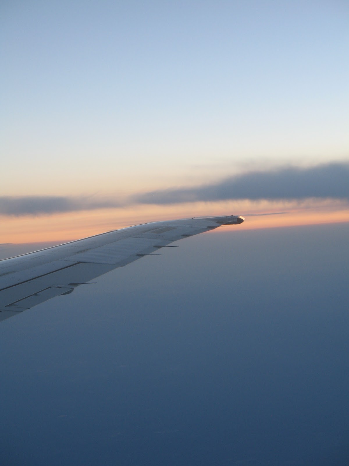
I took a week's retreat in PA and took some nifty cloud shots from the air, coming and going. I'm not going to try to stick labels on anything, just enjoy:


Tuesday, April 3, 2012

Tornado videos

You remember the old westerns? The movies where the Indian always climbed up the edge of the fort, was shot and flung himself backward, etc. The women always picked up a rifle dropped by a downed man and shot someone dead on. And so on and so forth. It's kind of like wrestling: fake and predictable.

Well, tornado videos aren't fake, but they sure are predictable. I've just watched a few on Hulu and have come to a few conclusions:

Ten Things all Tornado Videos have in Common
  1. Film is shot by men between the ages of 25 and 45.
  2. There is far too much adrenalin, caffeine and testosterone present.
  3. Every other phrase is, "Oh my G--." 
  4. Every tenth word is a curse.
  5. "Debris" is a very desirable thing.
  6. Missing the spark as the tornado crosses the power lines is a source of shame.
  7. The chasers will get too close - on purpose - and instead of sensibly turning around and heading back down the road, will reverse at 60 mph while one of them yells, "Back! Back!! Go go go!!!"
  8. Someone will always get mad that the wipers are on, ruining the shot.
  9. Hoots and screeches will accompany any lighting stroke caught on film.
  10. While you're trying to listen to the sound of the wind, someone is invariably yelling, "Do you HEAR that?!?" so that you can't.
(source)


Wednesday, March 28, 2012

Hurricane Camille Memorial

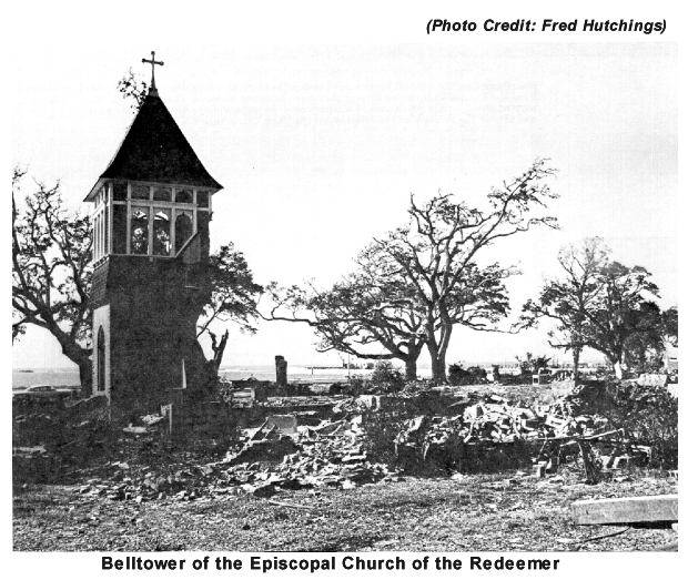
In the course of taking my daughter to the state science fair in Biloxi I was able to go see the Hurricane Camille memorial only a few miles away. The Episcopal Church of the Redeemer which was behind the memorial had been a built as the "new" church only in 1891. The church was destroyed in Camille but the tower somehow withstood the winds and storm surge.

Before Camille (source)

After Camille (source)


(source)

The bell tower which survived was repaired and served as a memorial after Camille. The "old" church, which had been serving as the church hall, survived Camille and was repaired and then used as the church again. In the first photo above you can see it in the background. Below you can see how the church grounds looked before Hurricane Katrina. The memorial appears to be on or near the footprint of the old church.

(source)

A view that includes the surviving tower:

(source)
Then, of course, came Katrina which finished the job that Camille started. The bell tower was destroyed, the memorial damaged, the "new/old" church destroyed. The only things left of the church were a few twisted girders and some artifacts dug out of the muck.

(source)
(source)

(source)

(source)
 
Today, the church has been moved. The girders remain as a memorial to the church. The memorial has been restored. (the following are all my photos)